
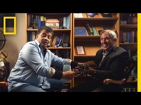
we’re featuring my interview with
traditional Polynesian ocean Voyager 9
OA Thompson and I had to ask him how the
ancient Polynesians navigated 2400 miles
from Hawaii to Tahiti without being able
to calculate longitude let’s check it
out okay imagine imagine you’re standing
on the beach at Waikiki you’re looking
over the horizon to where T it is and
then imagine you draw one line like a
like a like an arc to the west side of
TD and the other eye onto the east side
that’s your target it’s less than a
degree so your destination is not in
view because it’s far beyond your eyes
so so your destination spans an angle
from where you’re standing in Waikiki
and as long as you navigate inside that
angle nothing else matters right because
you’re gonna get to your target on the
other side really really smart well in
fact it seems to me your angle can be
wider than that because you just have to
get your destination within your horizon
and then you can just reckon to it 50
miles yeah yeah 15 miles so you have a
30 mile so it’s really the width of 30
miles at the distance of where you’re
headed
that’s your angle 2,400 miles away
though is thirty oh yeah that’s that’s
narrow but still it’s a known problem
right yes so but there’s so many
unknowns in the navigation that it’s not
it’s not a GPS it’s not a coordinate
system you don’t have longitude you need
you need instruments and you need tables
which we don’t have it’s a dead
reckoning system so you only know where
you are but memorizing where you come
from if you memorize or your complement
you got to be awake you know we stay up
21 22 hours a day so it ain’t easy
here’s what you do
slip this in your so what that’s that
same sex I see he didn’t take it
[Laughter]
[Music]
Please follow and like us: